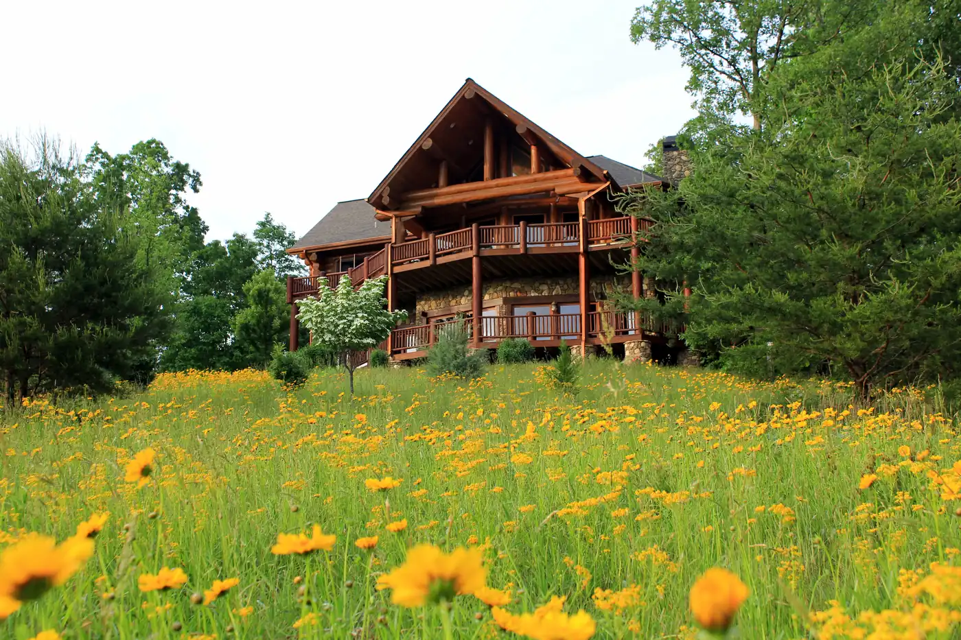
One river, two characters
The Toccoa runs north through Fannin County. Above Lake Blue Ridge it is a mountain river in national forest and farm valleys. Below Blue Ridge Dam it is a tailwater: water released from the bottom of the lake, then on past Mineral Bluff to McCaysville, where it flows northwest into Tennessee and becomes the Ocoee (Tennessee Valley Authority).
Above the lake
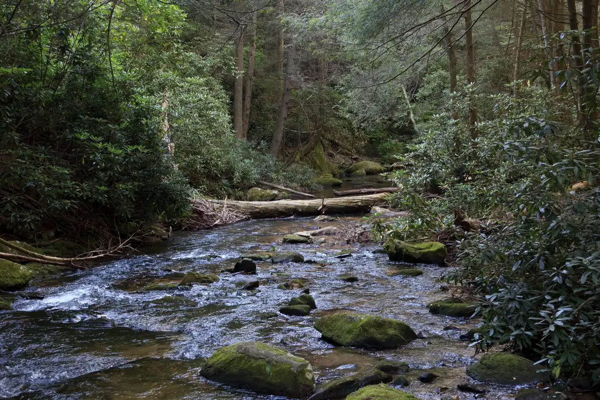
The upper river is the quieter of the two. The Benton MacKaye Trail, which has 80 miles in Georgia (U.S. Forest Service), crosses it on the Toccoa River Swinging Bridge, a 260-foot footbridge reached by a three-mile drive on unpaved Forest Service Road 816 (Benton MacKaye Trail Association). That drive tells you something about the area: many river properties up here are reached on gravel.
Below the dam
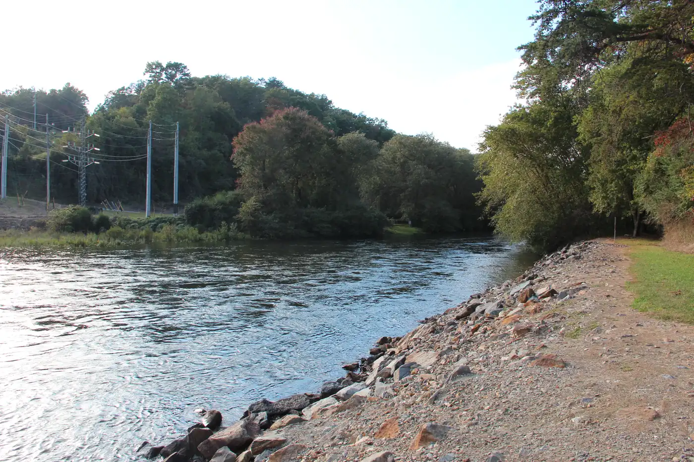
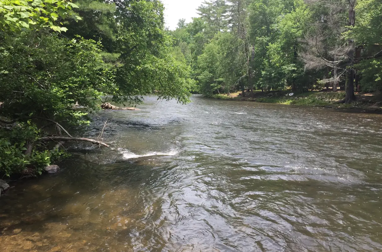
TVA keeps a canoe and kayak launch below Blue Ridge Dam, and when it releases water to generate power the river becomes a Class I-II float (Tennessee Valley Authority). Anglers know the tailwater for trout, bass and sunfish (Tennessee Valley Authority). The flip side for an owner: the river rises and falls with dam releases, so a gentle riffle at breakfast can be a fast current by afternoon.
Before you buy on the river
- Setbacks. Fannin County building setbacks include 50 feet from state waters (Fannin County building permit checklist). Plan additions, decks and outbuildings around it.
- Flood zone. Ask for the flood zone on the survey and price flood insurance before you make an offer, not after.
- The road. River roads are often private or gravel, and the county works only on roads on its approved list (Fannin County Public Works).
- The county. Listings marketed as “Toccoa River” sometimes sit outside Fannin County. Check the county on the tax record, because the rules in this guide are Fannin County’s.
- Wildfire. Riverwalk on the Toccoa in Mineral Bluff is one of two recognized Firewise communities in the county (Georgia Forestry Commission); ask whether a community has a plan.
Trout water
Toccoa River
The river above the lake in the national forest, and the tailwater below the dam toward McCaysville.
- River
- Trails
- Quiet
- TVA notes the tailwater below the dam for trout, bass and sunfish, and it floats Class I-II when water is released.
- Long stretches of the river run through national forest and farm valleys rather than subdivisions.
- Above the lake the Benton MacKaye Trail crosses the river on the 260-foot Swinging Bridge.
Check first: County setbacks are 50 feet from state waters; check the flood zone and who maintains the road in.
Toccoa River cabinsRiver questions
Where does the Toccoa River go?
North out of the mountains: it fills Lake Blue Ridge, leaves through the dam, runs past Mineral Bluff to McCaysville and flows northwest into Tennessee, where it is called the Ocoee.
Source: Tennessee Valley Authority, checked Oct 16, 2026
Can you float the Toccoa below Blue Ridge Dam?
Yes. TVA keeps a canoe and kayak launch below the dam, and when it releases water to generate power the river becomes a Class I-II float. Check release schedules before you go.
Source: Tennessee Valley Authority, checked Oct 17, 2026
For cabin owners
Want your home featured here? List with Gold Peach Realty.
Homes listed with Gold Peach Realty appear in the featured section of this guide and on our other North Georgia community sites, alongside the MLS and the major home-search portals.