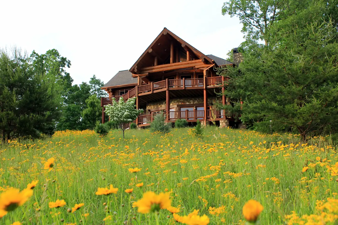
Why buyers look at Aska Road
Aska Road runs south out of Blue Ridge into the hills, which gives this area its two selling points: you are minutes from downtown, and you are next to the Forest Service’s Aska Trail System, about 17 miles of hiking and mountain-biking trail less than 10 miles from town, with trailheads at Deep Gap, Stanley Gap and Shady Falls (U.S. Forest Service).
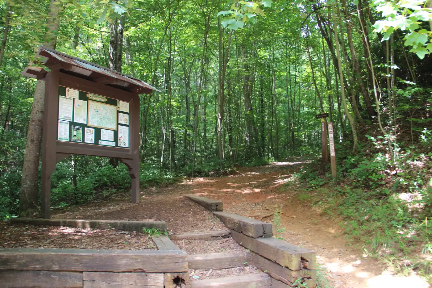
Views and what they cost you
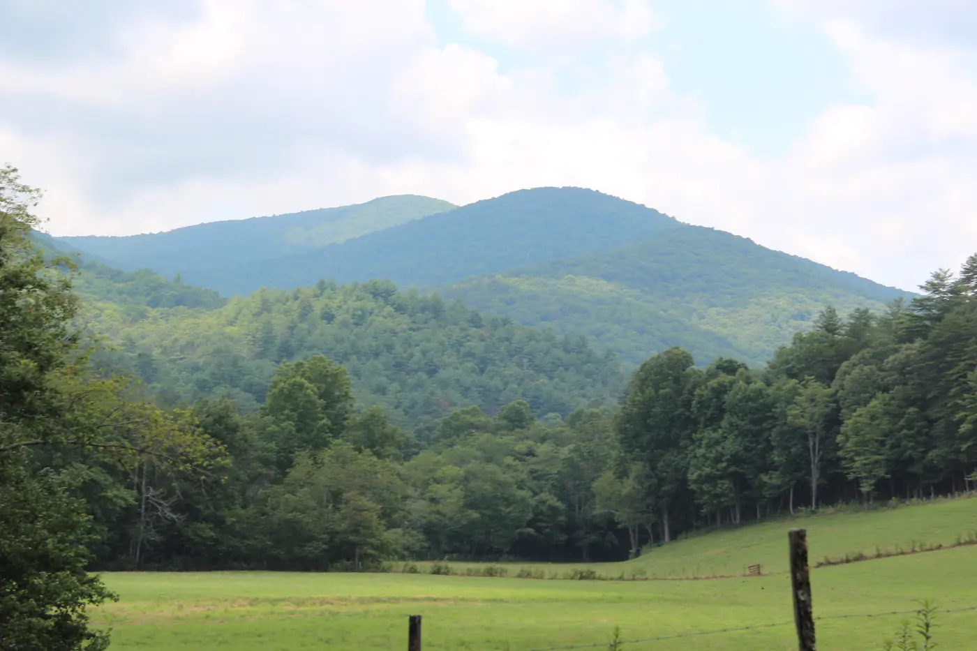
The long-range views people want from a mountain cabin usually come with elevation, and elevation usually comes with a steep, winding drive. Before you fall for a view:
- Find out whether the road is on the county list. Fannin County maintains about 442 miles of approved roads (Fannin County Public Works) and says state law forbids it from maintaining any other (Fannin County Public Works).
- Drive it in the worst weather you can. Ask neighbours how they handle ice.
- Ask about the view in summer. Some views are winter views that close when the leaves come back.
- Know the lighting rule: outdoor lights must be off from midnight to sunrise, apart from exemptions such as motion-sensor security lights (Fannin County ordinance 2025-03). Many owners on the ridges like it for the stars.
The wider trail network
The Benton MacKaye Trail, a primitive backcountry trail with 80 miles in Georgia, runs through this part of the national forest (U.S. Forest Service). The Appalachian Trail has more than 76 miles in Georgia and ends on Springer Mountain (U.S. Forest Service).
Aska Trail System
Forest Service trails · Blue Ridge
About 17 miles of hiking and mountain-biking trail off Aska Road, with trailheads at Deep Gap, Stanley Gap and Shady Falls.
Source: U.S. Forest Service, checked Oct 16, 2026
Toccoa River Swinging Bridge
Footbridge on the Benton MacKaye Trail · Fannin County
A 260-foot suspension footbridge reached by a three-mile drive on unpaved Forest Service Road 816.
Source: Benton MacKaye Trail Association, checked Oct 16, 2026
Morganton Point Recreation Area
Forest Service campground and launch · Morganton
The only developed campground on Lake Blue Ridge, open all year; $5 day use per person 16 and up, $5 to launch.
Source: U.S. Forest Service, checked Oct 16, 2026
Long Creek Falls
Waterfall on the Appalachian Trail · Three Forks
A 25-foot fall, about 1.8 miles round trip from Forest Service Road 58; the forest roads can be impassable in winter or very wet weather.
Source: Appalachian Trail Conservancy, checked Oct 16, 2026
Blue Ridge Dam overlook
TVA overlook and picnic area · Blue Ridge
A scenic overlook above the dam and a shaded picnic area near the powerhouse.
Source: Tennessee Valley Authority, checked Oct 17, 2026
Trails and views
Aska Road
Mountain roads running south from town past the Forest Service’s Aska trail system.
- Near town
- Trails
- Quiet
- Atlanta side
- The Aska Trail System has about 17 miles of hiking and biking trail, less than 10 miles from downtown.
- Aska Road starts in Blue Ridge, so downtown is a short drive.
Check first: Long views usually mean steep, private driveways. The county maintains only roads on its approved list.
Aska Road cabinsQuestions
Does Fannin County maintain the road to my cabin?
Only if it is on the county’s approved road list, about 442 miles of asphalt, chip-and-seal and gravel. The county says state law forbids it from maintaining any other road, so private roads are up to the owners.
Source: Fannin County Public Works, checked Oct 16, 2026
How close are the trails to downtown Blue Ridge?
The Forest Service’s Aska Trail System, about 17 miles of hiking and biking trail, is less than 10 miles from downtown, with trailheads at Deep Gap, Stanley Gap and Shady Falls.
Source: U.S. Forest Service, checked Oct 16, 2026
For cabin owners
Want your home featured here? List with Gold Peach Realty.
Homes listed with Gold Peach Realty appear in the featured section of this guide and on our other North Georgia community sites, alongside the MLS and the major home-search portals.